 |
 |
 |
 |
 |
 |
 |
 |
 |
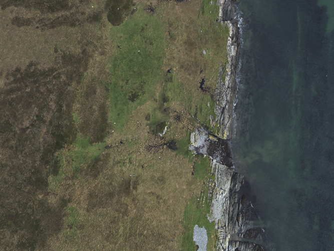 |
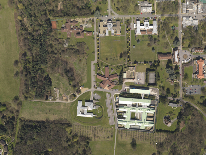
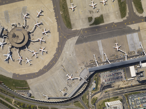
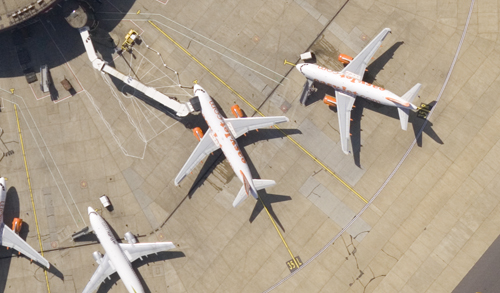
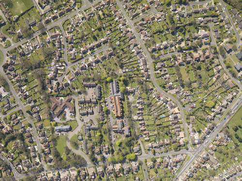
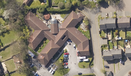
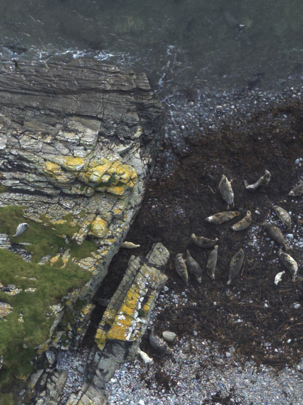
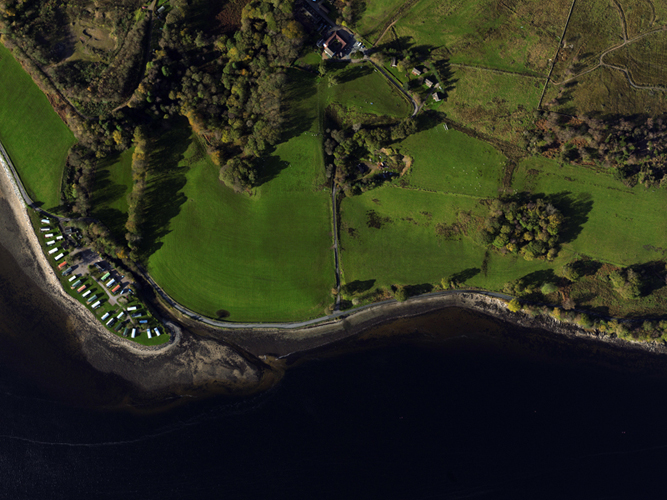
Following extensive research and development of equipment only available through Giles aviation, we are able to provide digital stills imagery of your project site at a resolution to suit your requirements to a quality exceeding 2cm.
Services available associated with data acquisition and delivery includes:
Mosaic
GPS tagging
Geo-rectification
Ortho-rectification
Data reviewing and analysis
Please contact us for further consultation and sample evaluation